My project is about connecting the lost Medieval (more Industrial) quarter, Wincheap, to Canterbury City Centre. Wincheap formed during the middle ages along one of the major routes into Canterbury. Since then the area has expanded with housing to the south and Commercial/Industrial warehouses to the North. The latter area gives Wincheap something of an undesirable air.


- The connectivity, particularly for the pedestrian, of Wincheap to Canterbury
- Connections across all three developments into the doorstep countryside; namely Hambrook Marshes, Whitehall Meadows and Westgate Parks
- The character of the development and it's relationship to Canterbury's Townscape character; this relates both to Massing, Street configuration and Building aesthetics.
- The sustainability of the development, particularly in relation to SUDs for flood AND drought mitigation.
- The benefits on the local economy. The developments should be mixed with a view to attracting tourists and to engagement with local colleges and/or universities.
So first off the existing developments need to be analysed using diagrams:
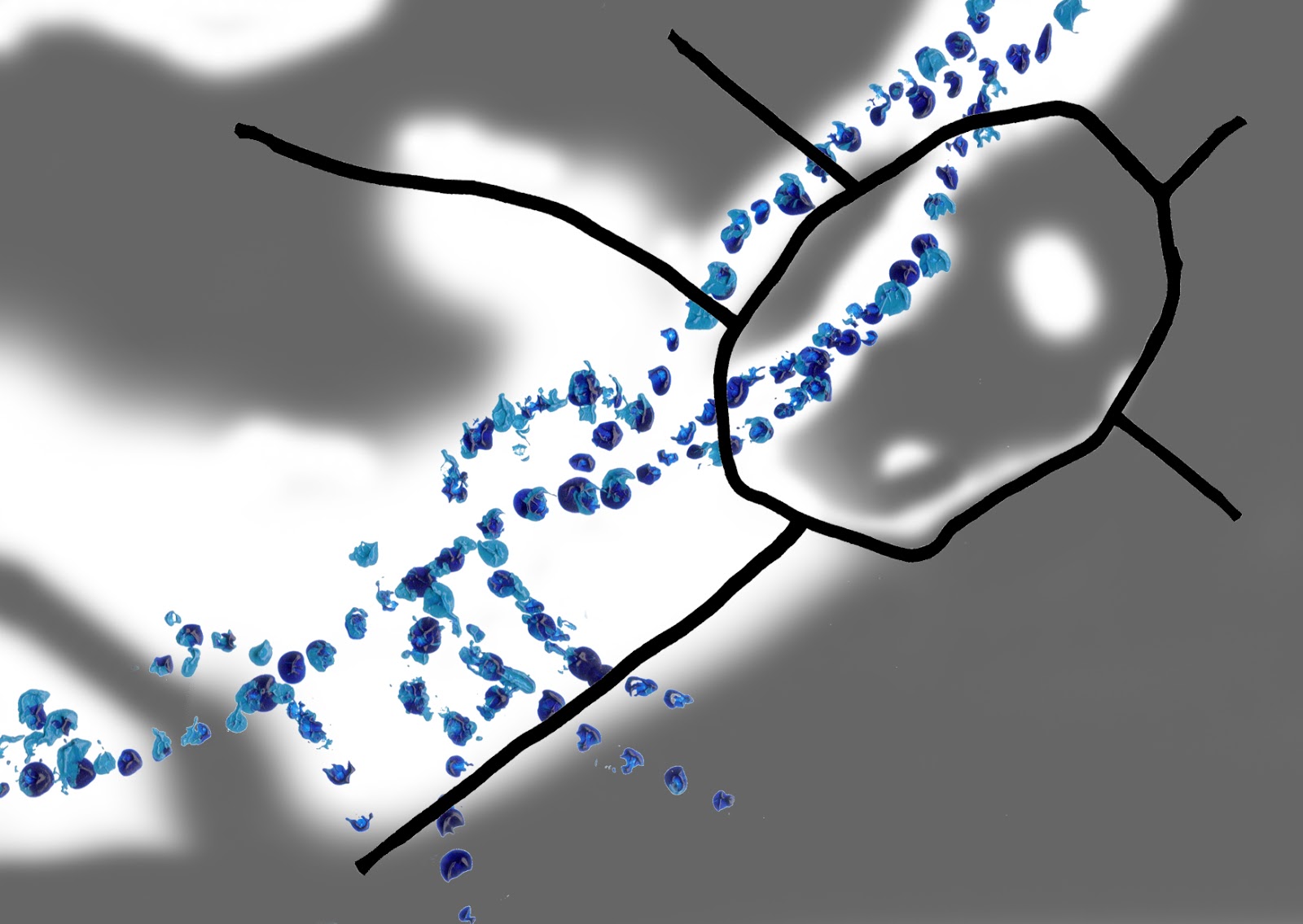
Permeability

 |
| EXISTING SITUATION |

 |
| PROPOSED DEVELOPMENTS |
- Rheims way (Ring Road) presents a barrier between Wincheap and Canterbury
What's right:
- The Eastern Rail line diving Development 1 & 2 has been dealt with by providing connections through the embankment

 |
| MITIGATED PROPOSAL |
- The neglected Rheims Way underpasses are renovated into unique green spaces making the connection between Canterbury and Wincheap a positive one rather than negative one
Pedestrian Circulation
 |
| EXISTING SITUATION |
 |
| PROPOSED CIRCULATION |
- There is no deep connection in the surrounding landscape
- There is no meaningful link to Canterbury city centre
What's right:
- Connections have been made between the new Wincheap neighbourhood and the old Wincheap neighbourhood
 |
| MITIGATED PROPOSALS |
What's new:
- Alongside the existing Great Stour cycle/walk way there is now a Little Stour Cycle/Way taking people from the new centre of Wincheap into the Heart of Canterbury
- The Great Stour itself is bridged at several new points enabling Wincheap residents to directly access the countryside
- An old rail embankment provides a deeper link not only into Wincheap but also into the doorstep countryside
Ecology & Connection to the landscape
 |
| EXISTING SITUATION |
 |
| PROPOSED DEVELOPMENTS |
- Established habitats are removed or threatened
- All new landscape is amenity based
What's right:
- New public open space is being introduced
 |
| MITIGATED ECOLOGY |
What's new:
- Green chains are strengthened
- Existing ecologically beneficial habitats are protected and extended
- Local habitats are brought into developments to create a relationship with the sorrounding landscape
Hydrology and SUDs
 |
| EXISTING SITUATION - Grey represents impermeable surfaces |
 |
| PROPOSED HARD & SOFT LANDSCAPING |
- Developments 1 & 2 fail to engage with the River
- All developments fail to put forth a SUDs proposal
What's right:
- Development 3 has some engagement with the River
- Development 1 has some permeable landscape
What's new:
- The river is extended along the layout of historical farming ditches
- The river is taken through Development 3
- Permeable landscape is extended throughout developments with a swale strategy utilising the river
- Rainwater harvesting occurs at roof level
Townscape Character: Massing
 |
| EXISTING MASSING TYPOLOGY |
 |
| PROPOSED MASSING TYPOLOGY |
- The height of developments and the size is inappropriate for the townscape character
- Size of buildings and street width relationship does not run in accordance with the existing city framework
What's right:
- The variation in structures
 |
| MITIGATED MASSING TYPOLOGY |
What's new:
- There is a hierarchy in building use to building size
 |
| EXISTING CULTURE/HERITAGE DISTRIBUTION |
 |
| PROPOSED CULTURE/HERITAGE DISTRIBUTION |
- New developments fail to connect to the culture or heritage of Canterbury, a city rich in these things
What's right:
- Development 3 eludes to the mediaeval city wall
 |
| MITIGATED CULTURE/HERITAGE DISTRIBUTION |
What's new:
- Culture/ Heritage is introduced across all 3 developments by use of craft market space, artist live/work studios, University Arts Centre, commissioned public art works, Visitor centres for doorstep countryside reserves and Heritage centres for the Wincheap area and the old rail embankment.
My first attempt:


Good post, keep it up!
ReplyDelete